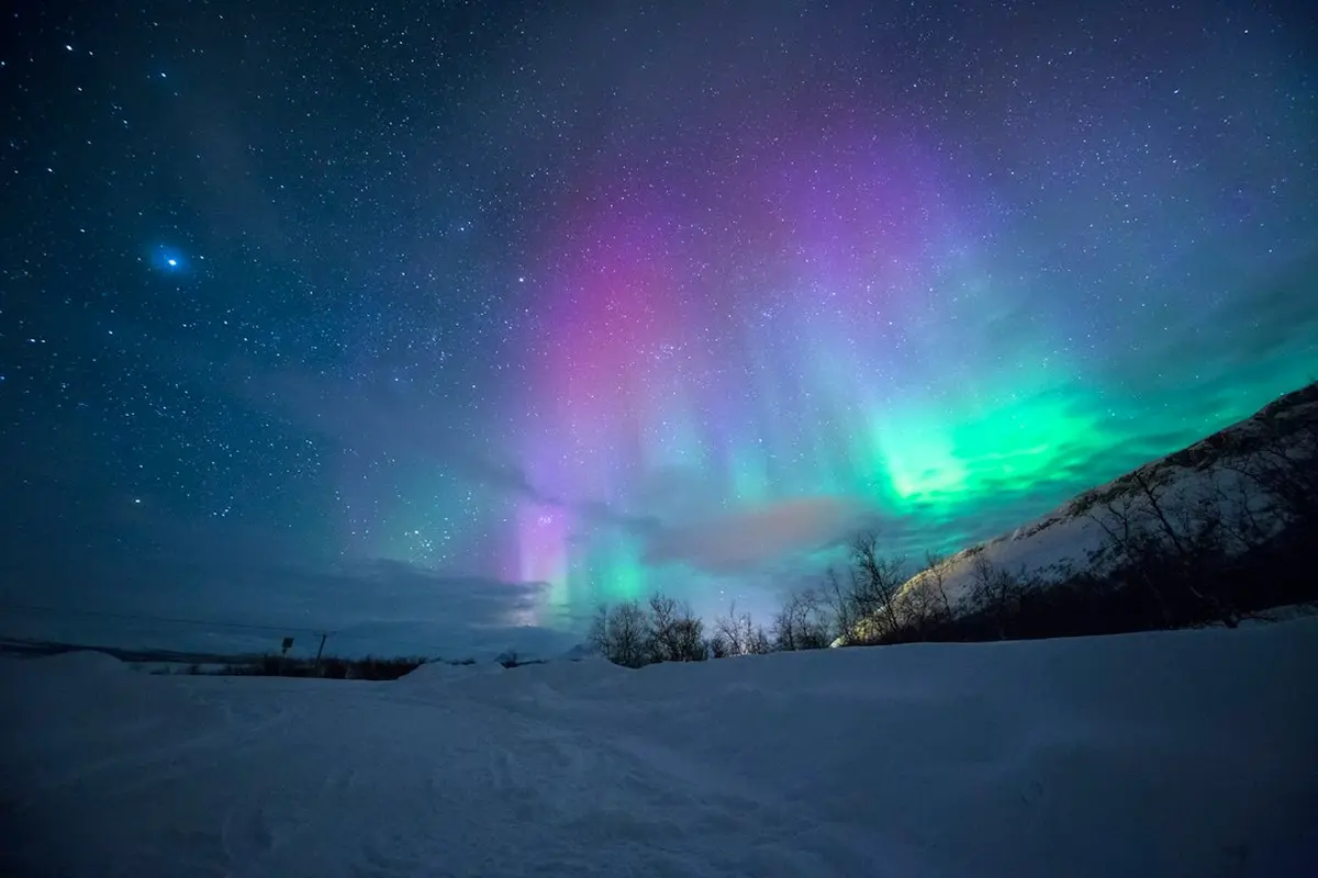
On a winter aurora night, expect anything from about 23°F to 41°F (-5°C to 5°C) on the coast of Northern Norway to -22°F (-30°C) or colder in inland Finnmark and interior Alaska. On the coast, wind can make a milder night feel colder than a still night inland.
The temperature matters more for aurora viewing than for most winter trips because you are not moving. NOAA's Space Weather Prediction Center puts the best viewing within an hour or two of midnight, between 10 PM and 2 AM local time. That means hours of standing still in the dark. The night low decides three things: which month you book, whether you base yourself on the coast or inland, and how much insulation you pack.
What sets the number on a viewing night
Coast or interior counts for more than latitude. Iceland's climate is moderated by the Gulf Stream, so its winters are milder than its subarctic latitude would suggest. Visit Norway gives coastal Northern Norway (Helgeland, Bodø, Lofoten, Vesterålen) a typical winter range of 5°C to -5°C (41°F to 23°F). Finnmark's open interior plains, at similar latitudes, can reach -30°C (-22°F).
Month. Every official tourism board in these sources describes autumn as the milder window. Travel Yukon places it from mid-August to mid-October. Travel Alaska sets it from late August to early October. November to March brings the longest nights and the serious cold.
Clear skies. You need a cloud-free sky to see anything. Cloud cover acts as a lid that holds heat near the ground, and a clear sky lets that heat escape, so the nights you want are the ones that cool fastest. None of the sources here measure how large that difference is, so treat a forecast low for a clear night as a floor you may reach, not a ceiling.
Night lows by destination
Reykjavík. The Icelandic Met Office recorded the capital's lowest temperature of 2025 as -10.9°C (12.4°F) on January 1. That was the warmest year on record for Iceland. December 2024 was the third-warmest December on record, and January 2025 turned cold again. The Met Office also points to large swings between winters, such as the cold 2022 to 2023 season against the mild 2024 to 2025 one. A single year's figure is a data point, not a forecast.
Tromsø, Lofoten and the Norwegian coast. Expect roughly 41°F to 23°F (5°C to -5°C). Visit Norway calls coastal weather unpredictable compared with the more stable but colder interior. Inland Finnmark can reach -22°F (-30°C), and Svalbard typically runs -4°F to -22°F (-20°C to -30°C).
Fairbanks. The National Weather Service normals (1981 to 2010) give a September average low of 35.1°F (1.7°C). For the winter months, the only month-by-month figures in our sources come from a tour operator's guide, so give them less weight. That guide gives nighttime ranges of 5°F to 25°F (-15°C to -4°C) in October and November, -10°F to 10°F (-23°C to -12°C) from December to February with January the coldest, and -5°F to 20°F (-21°C to -7°C) in March. A gear blog reports that Fairbanks regularly drops to -20°F (-29°C) and can fall below -40°F on the coldest nights.
Whitehorse, Yellowknife, Abisko, Rovaniemi and Ivalo. Our sources do not include monthly night lows for these places. Travel Yukon says only that fall is milder and that November to March requires serious cold-weather preparation. For exact figures, use the normals from Environment Canada, SMHI or the Finnish Meteorological Institute. All of these except Yellowknife are inland, so expect them to behave more like Finnmark than Tromsø.
Wind chill, and how fast skin freezes
Wind chill is the "feels like" temperature. It combines air temperature and wind speed to estimate how fast exposed skin loses heat. The US chart based on National Weather Service data, as reproduced by The Old Farmer's Almanac, gives this example: at 0°F (-18°C) with a 15 mph wind, the wind chill is -19°F, and exposed skin may develop frostbite in about 30 minutes. The chart sorts conditions into 30-minute, 10-minute and 5-minute frostbite zones. Fingers, toes, ears and nose freeze first.
Other sources give shorter times. A gear blog puts frostbite on exposed skin at under 10 minutes at -25°F and under 5 minutes at -40°F. One travel writer reports superficial frostbite after about one minute of bare-handed camera work at -30°C (-22°F).
This is why a coastal spot can be harder going than an inland one. A calm inland clearing at -20°C (-4°F) exposes you only to the air temperature. An open fjord shore at -8°C (18°F) with the wind coming off the water can push you into a colder feels-like number than that, as the 15 mph example shows. Our sources do not include the Environment Canada version of the index or the exact values for this pair, so check the local wind forecast rather than assuming the coast is the easy option.
Not the same thing
| Air temperature | Wind chill | |
|---|---|---|
| What it measures | The temperature of the air | How fast wind strips heat from exposed skin |
| Can freeze skin on its own | Yes, below 32°F (0°C) | No, if the air is above 32°F, wind chill cannot cause frostbite |
| Affects cameras and water bottles | Yes | No, objects only cool to air temperature |
Before you choose a month and a base
If you want the mildest nights, go from late August to early October and stay on the coast. That choice is wrong for you if dark hours are your priority, because the longest nights fall in the cold months. If you choose Fairbanks, the Yukon or inland Finnmark in winter, plan around lows below -4°F (-20°C). Plan for colder on clear nights.
Before each night out, check two numbers: the forecast low and the wind speed. If the wind chill falls into the 10-minute or 5-minute frostbite zone, no skin should be exposed at all. That includes the hand you use to work a camera. For multi-hour waits in the interior, battery-heated jackets for standing still are worth comparing against extra layers.
Comments
No comments yet. Be the first to comment!
Leave a Comment